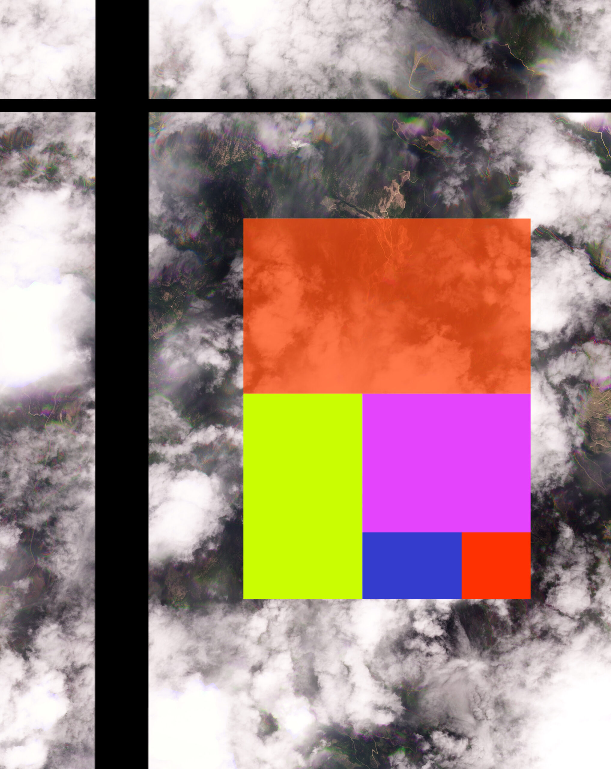
Clouds #1. Tree map of global agricultural land use by major crop type: cereals (orange), coarse grains (yellow), oilcrops and oil equivalent (purple), pulses (blue), and fruit (red). Source: Food and Agriculture Organization of the United Nations (2023) – with major processing by Our World in Data.

Clouds #2. Tree map of arable land use (hectares per person) in 2020 for: North America (deep blue), Europe and Central Asia (orange), Latin America and Caribbean (yellow), Sub-Saharan Africa (green), Middle East and North Africa (light blue), South Asia (red), and East Asia and Pacific (violet). Multiple sources compiled by World Bank (2024) – processed by Our World in Data.
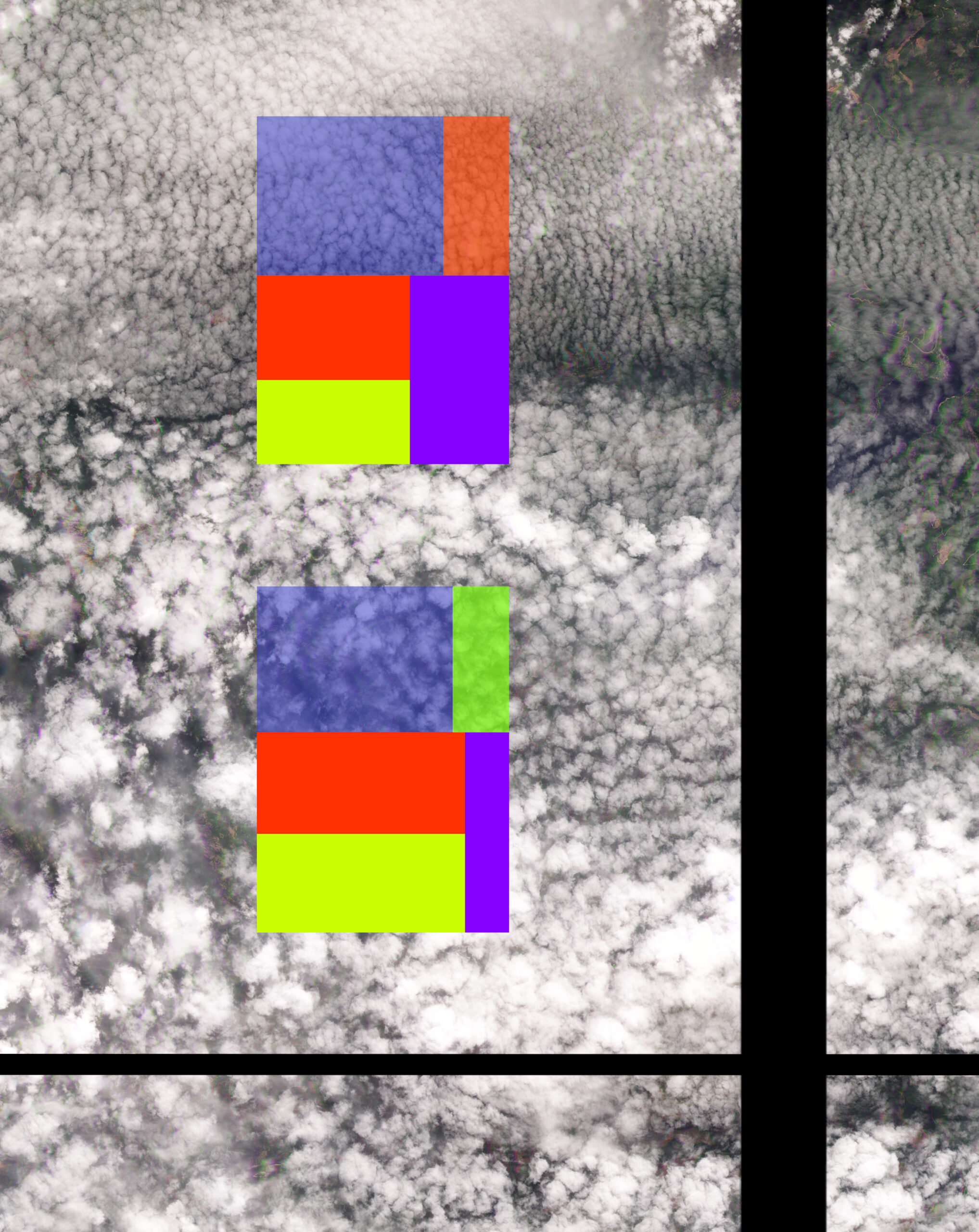
Clouds #3. Largest national wheat producers (tonnes) in 1992 (top tree map): China (deep blue), France (orange), India (red), US (violet), Russia (yellow); and in 2022 (lower tree map): China (deep blue), Australia (green), India (red), US (violet), and Russia (yellow). Source: Food and Agriculture Organization of the United Nations (2023) – with major processing by Our World in Data.
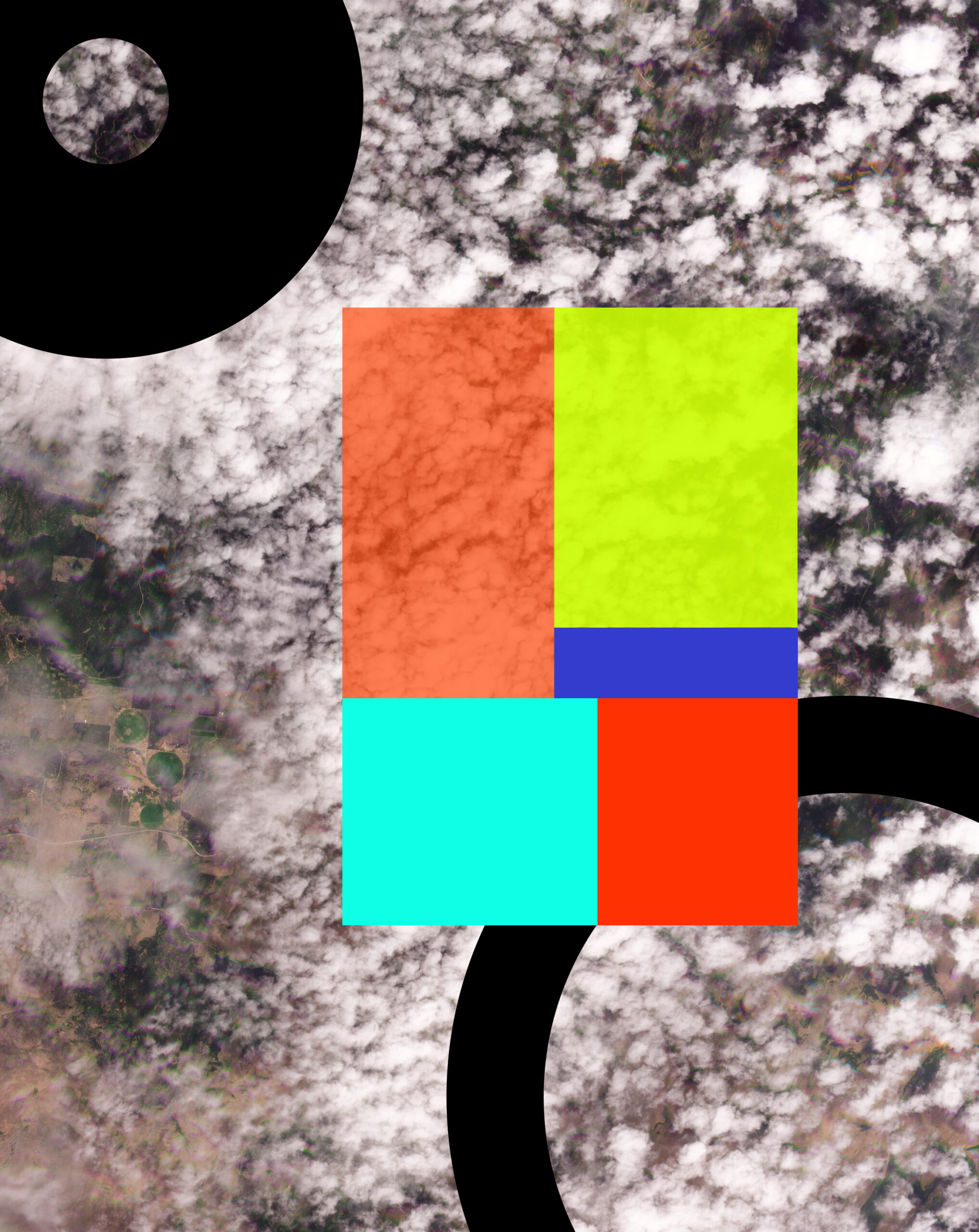
Clouds #4. Tree map of largest land areas harvested in 2021, per crop type: wheat (orange), maize (yellow), rice (light blue), soybeans (red), and barley (deep blue). Source: Food and Agriculture Organization of the United Nations (2023) – with major processing by Our World in Data.
A series of images created in 2024 for PUBLIC Journal issue 70